Perspective of Nairobi’s Urban Planning in Relation to Konza Environs
Physical planning, town planning or environmental planning can interchangeably be used to mean Urban Planning. It can be gain said that there exists a direct correlation between urban planning and standards of living. The practice of urban planning borrows relationships from various disciplines like Economics, Geography, Sociology or Environmental Philosophy where conflicts and similarities of principles get balanced out. Historically, urban planning came into creation as a response to challenges of development. For example, in Europe, it was to address public health where issues of chronic diseases were ever present. A good example being the London cholera outbreak of 1854. Thereafter, it shifted to their need for organizing cities in terms of aesthetic form. Today the ultimate focus of urban planning rests on developing cities in a more sustainable fashion.
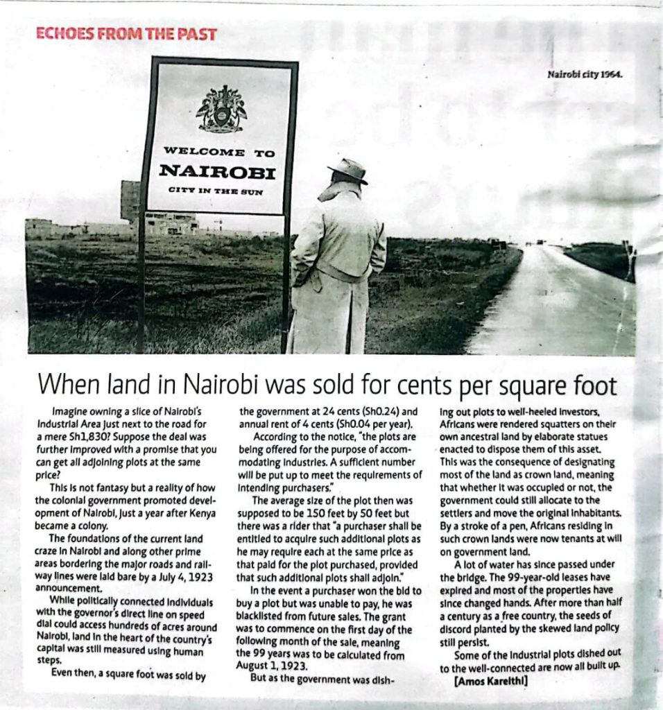
Unlike in developed countries which embraced urbanization hundreds of years ago, here in Africa, the practice is relatively young. Our planning has leaned more in the context of rapid population growth, high levels of poverty and slow economic growth. The imperative being the urgent need to access affordable housing or basic services like water, transport and health care. For us in Kenya, we borrowed the practice of town planning from the British system. When Nairobi’s physical plan came into life circa 1948, it was hugely a containment plan as opposed to a developmental one. It was geared towards segregating the elitist Europeans, the Asians who were ranked second class citizens and Africans who were factored in as providers of labor. At the attainment of our independence, our British colonialists handed over a plan designed for a small population that only a few indigenous Kenyans had the knowledge of sustaining. Years on and only in 1971, did the Government revise the City’s Metropolitan Growth strategy. The plan was mainly driven by the need to present a framework to the World bank aimed at getting funds to sort out water shortages through development of the famous Ndakaini Dam. Interesting to note, other developments like the Northern, Southern and Eastern bypasses were conceptualized in the same period only to be realized over 30 years later. Other recorded years of urban-plan revisions happened between the period 1973-85. Thereafter due to lack of funding, the Government went quiet on comprehensive urban plans that had been used to develop famous estates the likes of Buru Buru and Donholm. This inactivity then led to the emergence of private land buying companies seeking to address huge housing demand in areas adjacent to Nairobi.
Over the years, high settlement of people in Nairobi city has created a system-overload on existing infrastructure. We are at the point where some areas in Nairobi qualify to be ranked as Municipalities, having settled close to 50,000+ people, others as Cities, having settled over 250,000+ people.
Fast forward to today, there’s massive impending development within the greater Konza area. It’s no secret, the urban boundary growth has extended to areas beyond Athi River. In order for Konza to make claim to be African’s Silicon Savannah, it must take important cues from Nairobi’s growth as well as other smart cities around the world.
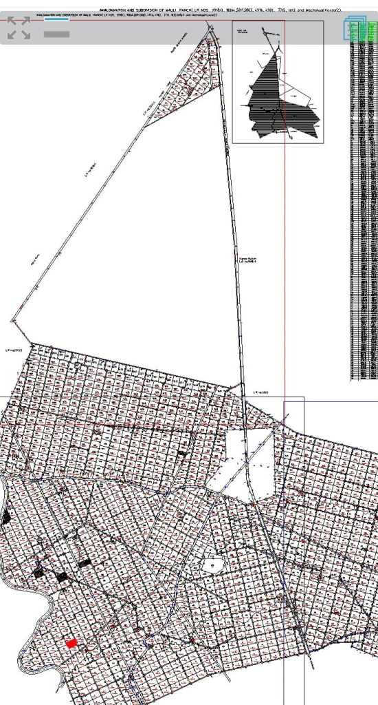
To retain the value of Konza Technopolis, a 10km buffer zone is gazetted. The 10-kilometre radius Buffer Zone refers to the privately owned areas of controlled investment adjacent to the Technopolis. As the Technopolis falls under the jurisdiction of Machakos, Makueni and Kajiado counties, the three counties in consultation with the national government will provide a mutual, spatial development framework for symbiotic co-existence. This plan will then offer fundamental guidelines and standards for controlling activities in the corresponding counties. Developers and property owners will also be guided by it regarding acceptable standards. The approved Buffer Zone plan by the Ministry of Lands, Housing and Urban Development shows areas that are considered to fall within the zone. (This plan can be obtained at the Ministry of Land, Housing and Urban Development or at the KoTDA website: www.konza.go.ke)
The principles of the plan are guided by factors such as:- Optimal and Economic use of Land; Mixed Development and Smart Growth, Aesthetics; Environmental Sustainability; Multi-sectorial/Multidisciplinary and Participatory; County Regional Balance; Accessibility & Convenience; Health, Safety and Efficiency; Harmonious Development; Energy Efficiency & Social justice /Fair and Equitable-
Finally, as a country, institutionalized Urban Planning built around proper structures and governance will move the role beyond just physical planning. As such, infusing tools and strategies such as urban informatics and design thinking will help in building future scenarios be it actual land use, transport corridors, engineering or environmental interventions.
